Who We Are

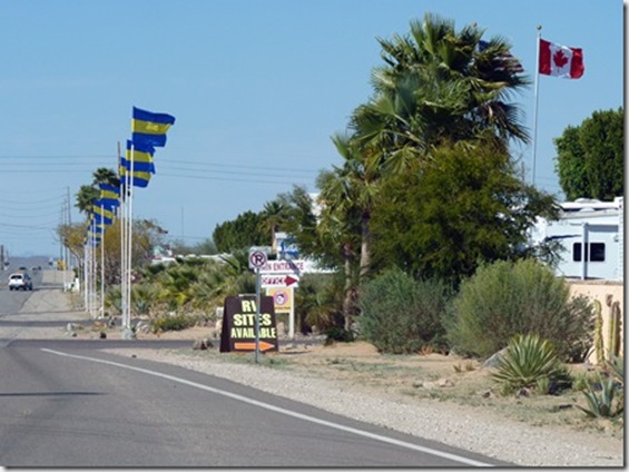
We sold our home in June, 2007, and spent the next 7 1/2 years traveling full time in a Cross Roads Fifth Wheel. (We had been traveling during our summers for several years before going full time.) We loved the full-time lifestyle! Each summer we spent a month or two volunteering in State Parks, first in Indiana at McCormick's Creek State Park, near our family, then in later years as the grandchildren got older, at the Bluewater Lake State Park in New Mexico. We spent 6 months each winter at Cactus Gardens RV Resort in Yuma, AZ, where I worked mornings in the park office. The remaining months were spent on the road, seeing this great country of ours. Our favorite places are our National Parks. Anita loved photography and the freedom of digital photography, taking sometimes hundreds of photos in a day. We hiked as much as our legs will allow. We also really enjoyed square and round dancing as we travel across country, and meeting all the wonderful people who dance and/or travel.

But as in all things, there comes a time for change, and we decided it was time to create roots once more. In the fall of 2014, we purchased a home in Cactus Gardens, and in the spring of 2015, sold the 5th wheel. Anita also retired in the spring. We will continue to travel each summer, but for a shorter period of time. We hope to continue blogging about those trips, but it will obviously be on a more limited basis than in the past.

Please explore our past posts if you are interested in traveling this great country. You'll find an index in the left column. We hope you enjoy our blog, and appreciate all comments

Tuesday, October 6, 2009

The Final Day of the Trip

We spent a few nights in Golden Valley, just a few miles from Kingman, where we had a great time visiting with friends, Ron and Linda..  Saturday found the four of us ‘yard-saleing’.  It was hard to tell who was the most pleased with their bargains.

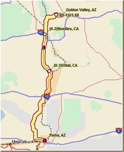
The last leg of the trip took us from Golden Valley, Arizona through the corners of Nevada and California back into Arizona and Yuma on new (to us ) roads.  final1

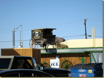
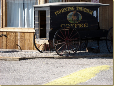
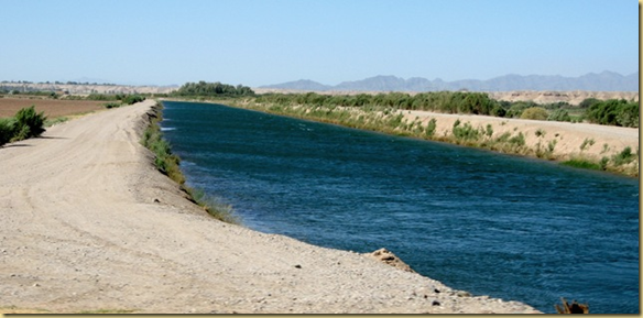
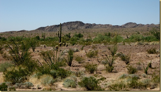
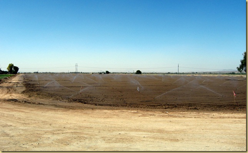
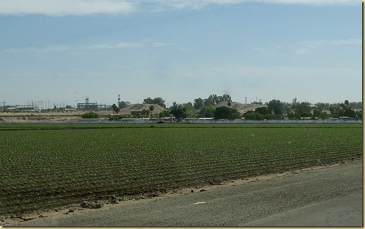
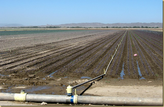
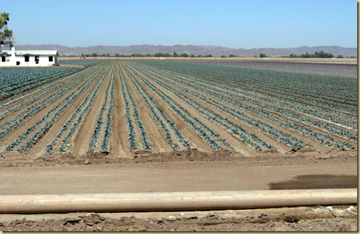
final2 Antique vendor wagons caught our eye at a  small restaurant from the past near the tiny community of Vidal.final3 final4 When we began seeing irrigation canals and green fields, we knew we were nearing our winter destination.  final5 The stretch from Quartzsite to Yuma boasts some of the most impressive desert life in the area.final6 Yuma produces much of the lettuce consumed in the U.S.  The fields as we arrived had been planted and were under various stages of growth.final7

final8

final9

final10 After 64 days and 6638 miles, our trip from Indiana to Yuma was finished.   final10b

Last day:final11

Friday, October 2, 2009

Afternoon in Las Vegas

Welcome to Las Vegas sign

Las Vegas gaming didn’t appeal to us, but we did decide to check out some of the free shows we’d heard so much about.

The road we took into Las Vegas passed the famous Las Vegas Welcome sigh,  created in 1959.  Even then, it cost $4000 to build and install.  It is now on the Register of National Historic Places.

We parked at Sam’s Town, and took the shuttle bus to the strip.vegas1

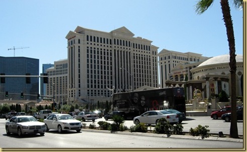
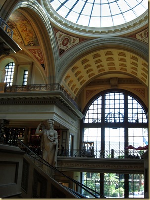
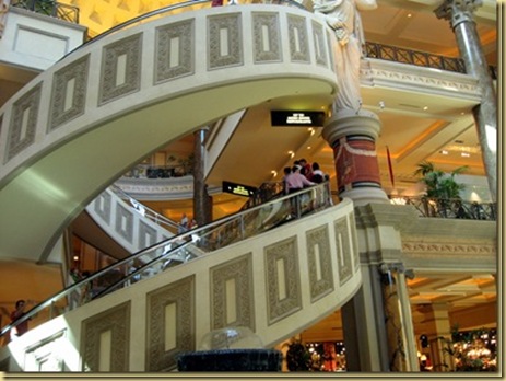
The first casino we visited was Caesar’s Place, and the opulence is unbelievable.

2009-09-30 -4- NV, Las Vegas - Caesar's Palace Casino-9 Perhaps most amazing though was the circular escalator.  Not quite sure how that is engineered.vegas3

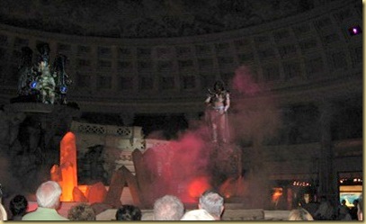
The fountains are beautifully lit with concealed colored lighting.  One hosts the show,  Fall of Atlantis, complete with animatronics and fiery effects.

vegas4

Just to the side of the fountain is the 50,000 gallon saltwater aquarium.  Feeding time provides another show of its own.

vegas5

Next on our list was the Bellagio, hosting several attractions. 

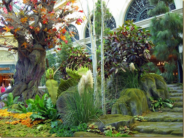
The Conservatory is outstanding.  With a pleasant mix of whimsy and nature, it boasts approximately 40 trees (some as high as 40 feet), 1500 shrubs and 10,000 plants in its 13,500 square foot area. 

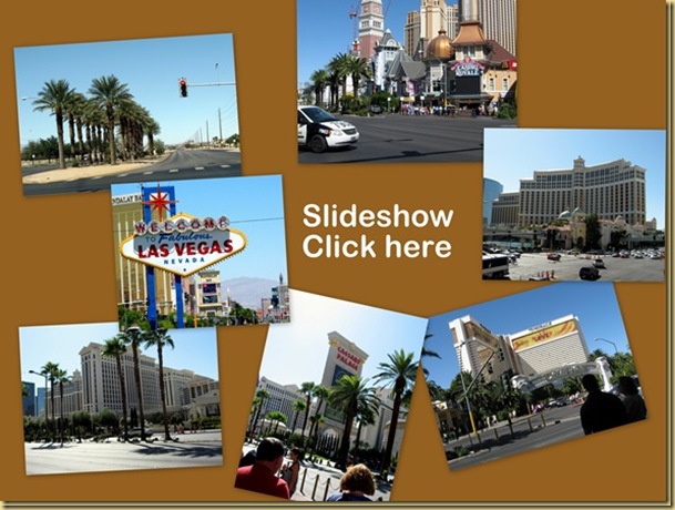
2009-09-30 -7- NV, Las Vegas - Bellagio Casion-6  The plants are changed five times yearly, providing seasonal displays.  It truly is amazing.  Be sure to check out our slide show link below. 

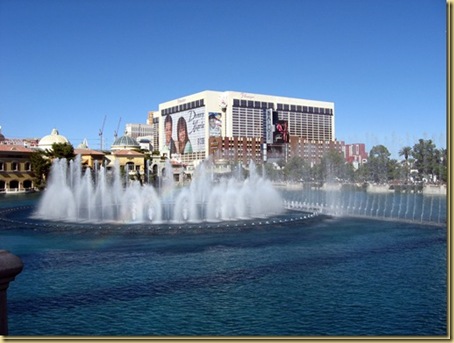
The outside fountain show, however, was perhaps our most memorable part of the afternoon.  Located in the quarter mile long lake in front of the Bellagio, the water show is choreographed to classical and popular music.  Water soaring as high as 460 feet from 1,214 jets takes your breath away.  You want it to continue for hours instead of minutes.vegas7

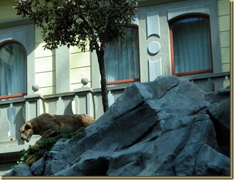
By the time we ate, we were tiring of all the walking, and caught the shuttle back to Sam’s Town, where we watched the Sunset Stampede, a symphonic journey through the Wild West.  The animatronic animals seem very lifelike as the animals and water come alive to the music.vegas8

We left without seeing the night lights on the Strip … that will have to wait for another time. vegas9 

Thursday, October 1, 2009

Hoover Dam

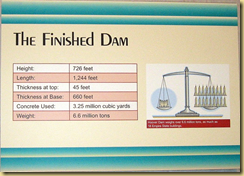
hoover1 Hoover Dam stretches from the Nevada shore of Lake Mead to the Arizona shore, trapping the waters of the Colorado River to provide energy to much of the surrounding area.  When finished in 1936, it was the largest dam in the world, but that claim was passed to the Grand Coulee Dam, when it was opened in Washington.  Hoover Dam now ranks 38th in hydroelectric energy in the world.

As of this writing, the Hoover Dam is still open to vehicular traffic, but a new bridge is underway within a few feet of the dam.  Once opened, the dam will be open to tourist foot traffic only.

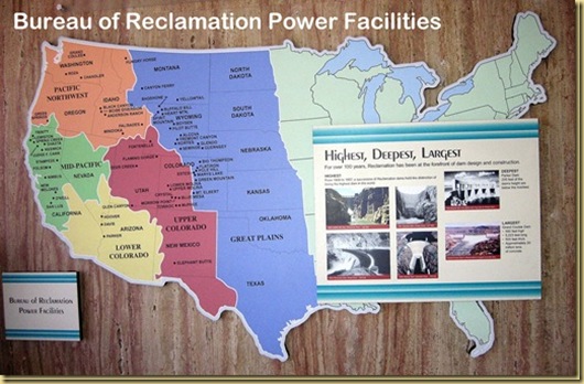
There are two tours that take you inside the dam.  We took the shorter, lasting about 45 minutes.  For pictures of the dam, lake and from the tour, click on the map.

hoover2


Wednesday, September 30, 2009

Utah to Nevada through the Virgin River Gorge

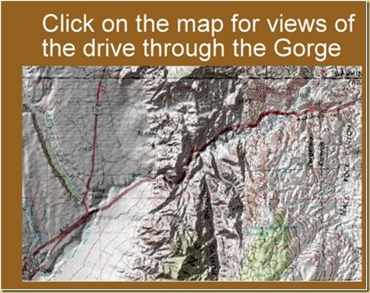
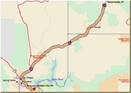
I-15 held an awesome surprise for us as we crossed the far northwest corner of Arizona.  Twenty miles wind through the spectacular Virgin River Gorge, just south of the Utah state line.  Ron was glad we were descending in elevation, rather than climbing.

This section of Interstate 15 is one of the most expensive parts of interstate highway ever constructed.  Due to the winding of the interstate, the canyon is also noted for its tricky driving conditions.  The gorge, a popular winter rock climbing area noted for its steep and overhanging limestone walls, actually exposes several beds of rock that lace the steep walls.  Virgin River Gorge separates the Utah desert from the one time marsh area in southeast Nevada.

virgin1

After exiting the Gorge, and now in Nevada, we had intended on driving through Las Vegas, but the hosts at the State Visitor Center warned us that construction was causing extensive delays.  We decided, instead, to take the scenic route through the Mead Lake Recreation Area.  Also under construction, it was still a very enjoyable drive, and much better than driving in heavy city traffic.  We stopped for a two night stay in Boulder City.

virgin2


Tuesday, September 29, 2009

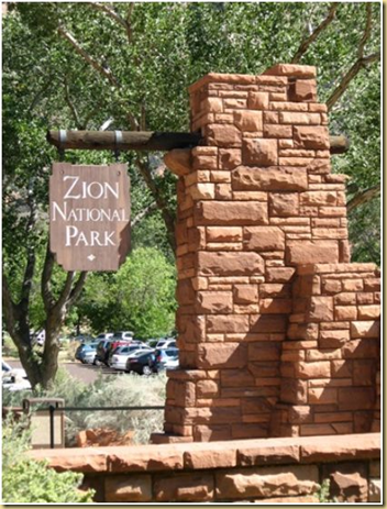
Zion National Park

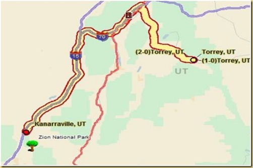
After leaving Hoyt and Bernice, we traveled to Kanarraville, about 30 miles north of Zion National Park.  Our plans were to rest during the afternoon, then tour Zion the next day, before moving on.  However the weather forecast was dire, with the possibility of high winds, and even snow in the higher elevations.

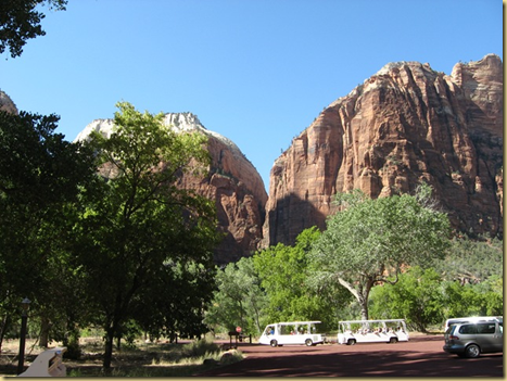
We decided to make a quick trip to Zion, so that we could continue southward the next morning.  Zion National Park covers 229 square miles, with elevation ranging from 3700 to over 8700 feet.  Many people say that they enjoy their trip to Zion National Park more than any of the other Utah parks, but I cannot say that.  Zion is every bit as beautiful as the other parks, but the enforced shuttle system prevents one from seeing much of the park in detail.zion1

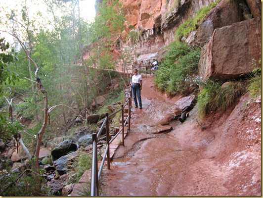
The buses are nice and comfortable, but I much prefer to make our own way through a park at our own speed, stopping often for views, pictures and walks.  We got off the bus at several of the stops, and took the short hike back to the Emerald Pool and Waterfall, where you can walk behind the water falling from the cliffs high above.zion2

There was so much contrast between the bright sun and shaded areas, that it was hard to get good photos, but we found enough to make a slideshow.  Click on the photo.

zion3

zion4


Monday, September 28, 2009

Capitol Reef National Park

Several of our friends have told us Capitol Reef is their favorite of the 5 southern Utah national parks.  We might not go that far (I really loved Arches), but it’s right up there.  The Park is the second largest in the state, yet is much less visited than others in south Utah, partly due to the rather remote location.

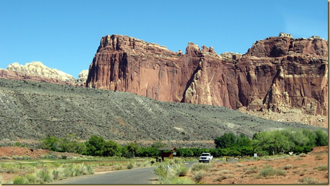
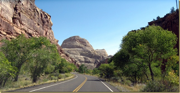
The Waterpocket Fold, a nearly 100 mile long warp in the earth’s crust,  defines Capitol Reef.  The most scenic portion of the Waterpocket Fold, found near the Fremont River, is known as Capitol Reef: capitol for the white domes of Navajo Sandstone that resemble capitol building domes, and reef for the rocky cliffs which are a barrier to travel, like a coral reef.cap1
cap2

After traveling for many days through Utah’s rocky landscape, the green color of the trees in Capitol Reef arrested our attention.  Running through the area is the Fremont River.  Early Morman settlers recognized the potential of the area and settled here in the 1880s, planting apple orchards.  They named their settlement, appropriately, Fruita.

The settlers are long gone, but several reminders remain behind, and provide a unique glimpse into the past for today’s travelers.  The historic Fruita tour begins at the Gifford House, where fresh breads and jams, made in nearby Torrey, provide a delicious start to the day.  cap3
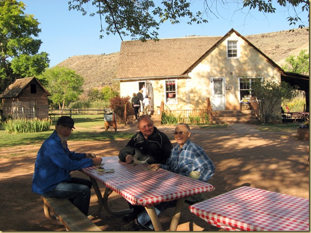
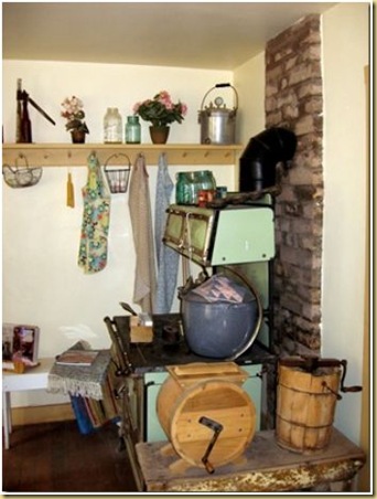
The farmhouse is filled with remnants of yesterday. cap4
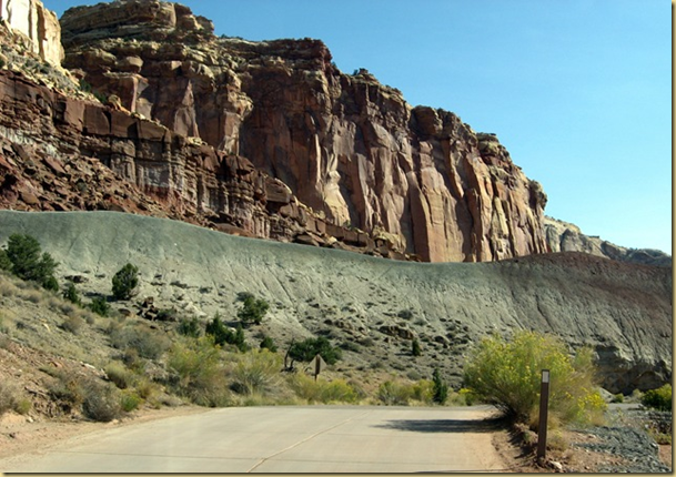
The road past the farm, following along side the old Butterfield Stage route, cap5
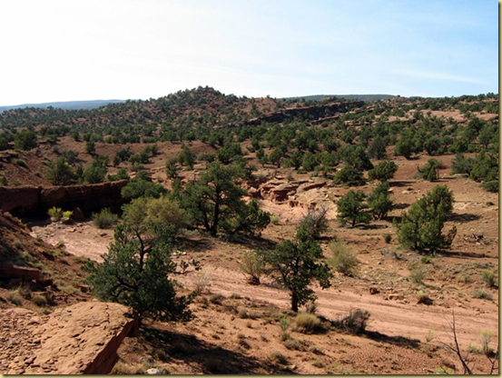
takes you along the Waterpocket Fold ca

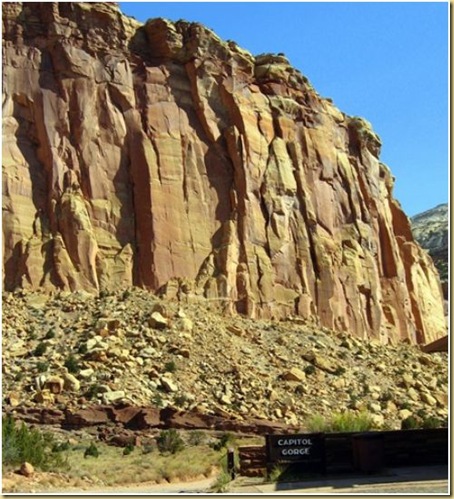
to Capitol Gorge, where the pavement ends.ca
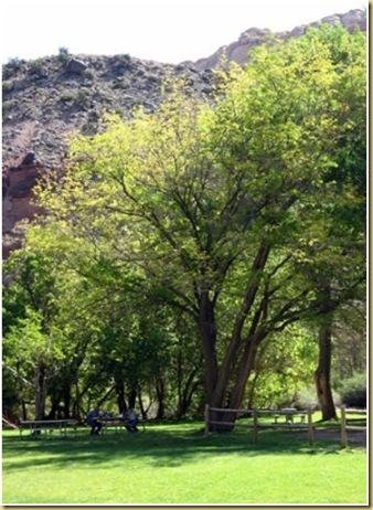
Back  near the farm, we stopped for a picnic lunch near the Junction of the Fremont River and Sulfur creek, and took a few minutes to wander through the nearby orchard.ca   Tourist still pick the apples during season.ca
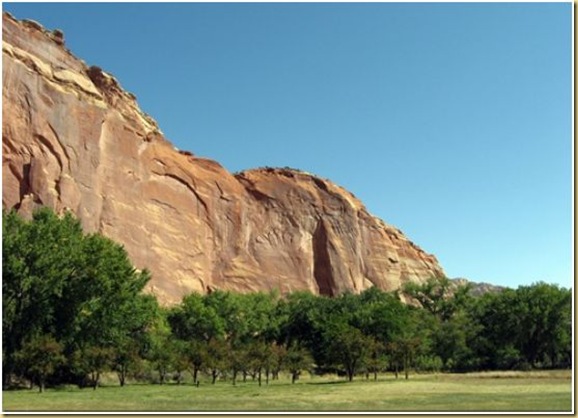
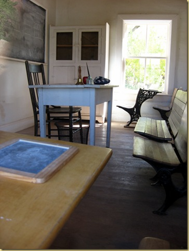
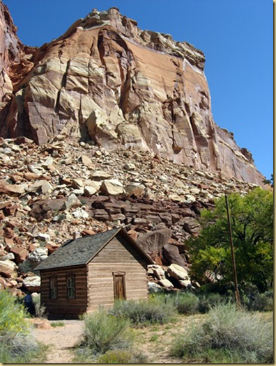
Children  of the settlers attended school in this tiny building,ca
ca

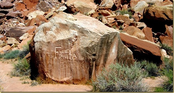
and left record of their time spent on the ‘school roll’ out back.ca
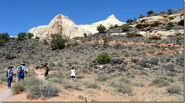
Leaving the settlement behind, we decided to hike to Hickman Natural Bridge.  ca
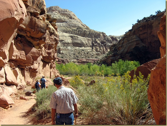
 ca   The elevation began to bother Ron, and he chose a shady spot to wait on Hoyt, Bernice and me.ca
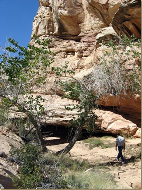
  As in all the National Parks of Utah, the scenery is breathtaking.
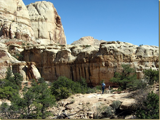
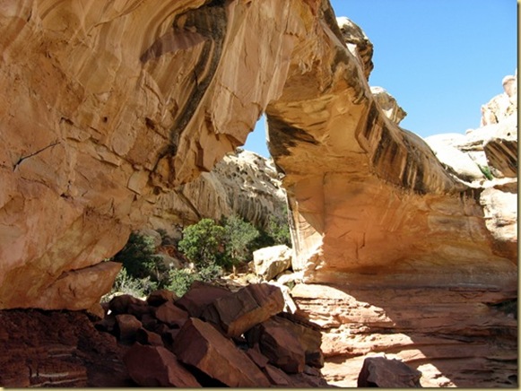
ca One of the largest rock spans in the park, Hickman National Bridge has an opening of 125 feet top to bottom, and 133 feet between abutments.  The bridge is named after Joe Hickman, one of the men deserving credit for the preliminary work that led to the creation of the National Park.ca
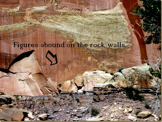
We also spent time at the Petroglyph/Pictograph site, where a boardwalk ca
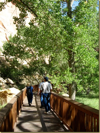
leads past dozens of examples of rock art.  The human depictions are often elaborately decorated with headdresses, ear bobs, necklaces, clothing items and facial expressions. A wide variety of animal figures include bighorn sheep, deer, dogs, birds, snakes and lizards. Abstract designs, geometric shapes and handprints are also common.  ca
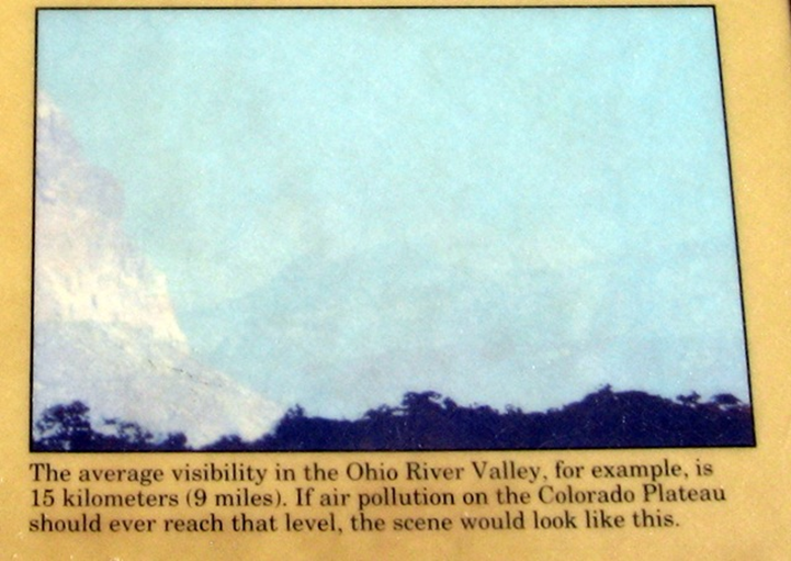
Our last stop of the day was at an overlook near the entrance to the park.  ca The informational display made an interesting observation:
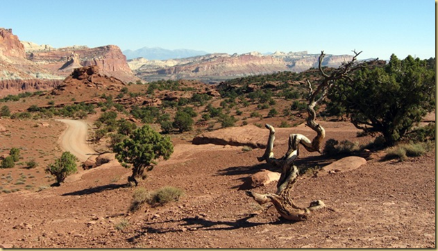
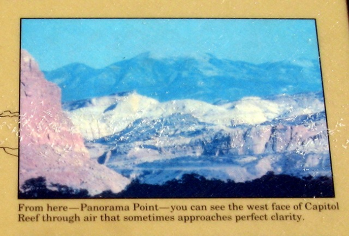
ca   ca

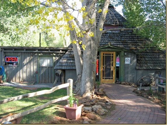
Torrey is a picturesque community of only 120 residents.  On Saturday morning, we visited the tiny farmers market, located in the side yard of a bookstore, consisting of only 1 vendor. ca
  ca

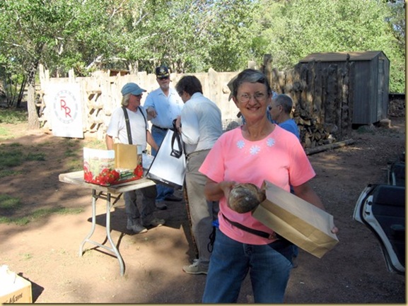
We purchased a delicious loaf of bread that had been cooked in an outside stone oven.  The bread is brought to the Farmer’s Market, unwrapped, in tubs.ca
On Sunday, we attended the small church, where Anita offered to provide piano music for the tiny congregation of 12 or so.  She was asked to stay and become their pianist.

At this point in the trip, Hoyt and Bernice decided to take the scenic route to Bryce Canyon National Park.  We chose not to visit Bryce, as it would mean driving through the aspens.  Ron was beginning to have allergy problems with the trees at Capitol Reef, and we didn’t want to aggravate the situation.  We decided to make Zion our next destination.

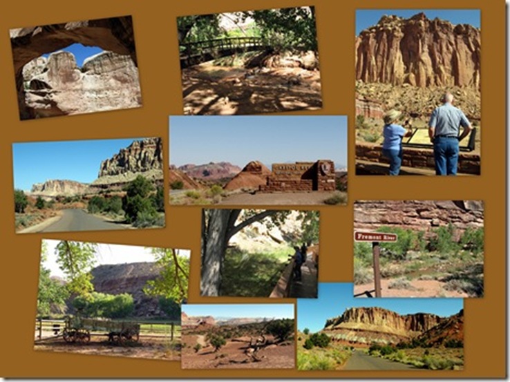
For a slideshow of more of Capitol Reef, CLICK anywhere on the collage:  
ca