Who We Are

We sold our home in June, 2007, and spent the next 7 1/2 years traveling full time in a Cross Roads Fifth Wheel. (We had been traveling during our summers for several years before going full time.) We loved the full-time lifestyle! Each summer we spent a month or two volunteering in State Parks, first in Indiana at McCormick's Creek State Park, near our family, then in later years as the grandchildren got older, at the Bluewater Lake State Park in New Mexico. We spent 6 months each winter at Cactus Gardens RV Resort in Yuma, AZ, where I worked mornings in the park office. The remaining months were spent on the road, seeing this great country of ours. Our favorite places are our National Parks. Anita loved photography and the freedom of digital photography, taking sometimes hundreds of photos in a day. We hiked as much as our legs will allow. We also really enjoyed square and round dancing as we travel across country, and meeting all the wonderful people who dance and/or travel.

But as in all things, there comes a time for change, and we decided it was time to create roots once more. In the fall of 2014, we purchased a home in Cactus Gardens, and in the spring of 2015, sold the 5th wheel. Anita also retired in the spring. We will continue to travel each summer, but for a shorter period of time. We hope to continue blogging about those trips, but it will obviously be on a more limited basis than in the past.

Please explore our past posts if you are interested in traveling this great country. You'll find an index in the left column. We hope you enjoy our blog, and appreciate all comments

Friday, October 15, 2010

Our 3 weeks in Golden Valley, Arizona

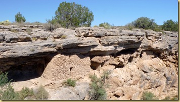
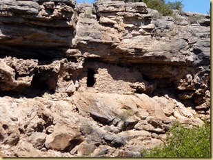
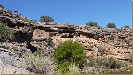
P1130239  We found ourselves in northern Arizona the first week of September.  It was too hot to continue on to Yuma (Yuma was having temperatures of  110+ then), so we decided to park at Golden Valley for the next 3 weeks, and just relax a little before arriving in Yuma.

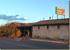
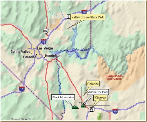
When in Golden Valley, we stay at the Adobe RV Park.  It’s a small privately run park just across the Cerbat mountain range from Kingman, yet away from the noise of the urban area.  The owners and residents are friendly and eager to welcome you into their midst.

While there, Ron joined the morning pool game each week day.  I spent quite a bit of time starting my Christmas crafts, and working on trip pictures and the blog, and we both cleaned the trailer (spring cleaning in the fall).

We also had time to explore the area a bit.Golden Valley
Hiking in the Black Mountains

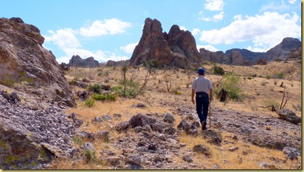
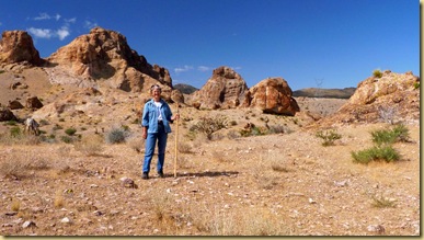
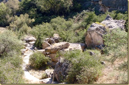
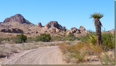
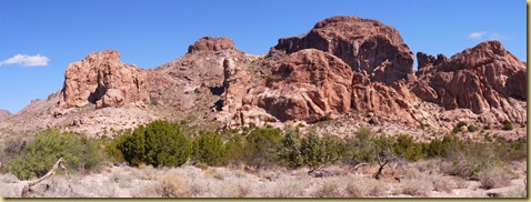
One morning, we packed a lunch and went for a hike in the Black Mountains, directly west of the park.  Golden Valley is an unincorporated community spread over quite a large area.  Most of the “city” streets are dirt, and can be quite rough.  P1130263The Black Mountains lie just to the edge of the community.  As soon as you leave the road, you feel as isolated from civilization as if you were 100  miles away.   We had a peaceful walk, seeing no one but the lizards and range cattle.p1130270p
P1130284

P1130288

Square and Round Dancing with Friends

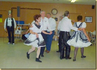
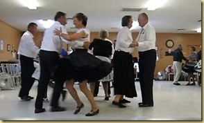
Friends, Ron and Linda live in Kingman, and like us, are square dancers.  The club, Kingman Kut-ups, held one dance during our stay, and we enjoyed sharing the evening with them.  The theme of the night was Black and White. 

2010-10-09 - AZ, Kingman Kut-ups Square Dance - 10062010 - OCT - KINGMAN SQ. DANCE 004.AVI 2010-10-09 - AZ, Kingman Kut-ups Square Dance - 1004

Valley of Fire

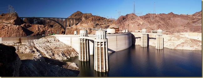
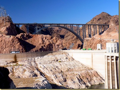
The following week, the four of us decided to take a day trip to the Valley of Fire State Park.  To reach the park, we drove over the Hoover Dam and through the Mead Lake National Recreation Area. 2010-10-08 - AZ, Lake Mead - Hoover Dam - 1006 The new bridge over the gorge is completed, and by the time you read this, open to traffic.  All traffic will be diverted over the bridge in the future, and the dam will only be used for visitor foot traffic.2010-10-08 - AZ, Lake Mead - Hoover Dam - 1001
  As you drive north through the Recreational Area, you begin to encounter more of the red rock of the area.2010-10-08 - AZ, Lake Mead National Recreation Area - 1001
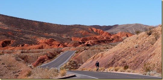
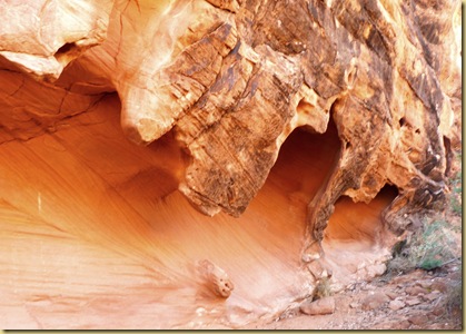
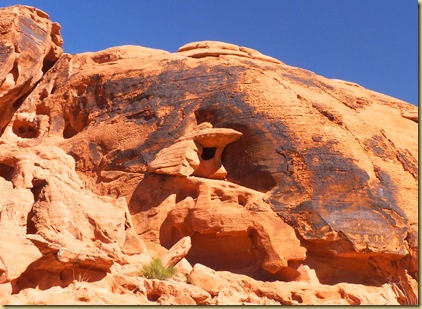
What an awesome place is the Valley of Fire.  Filled with red rock formations, the rock is pitted with cavities. 2010-10-08 - AZ, Valley of Fire State Park - 1001
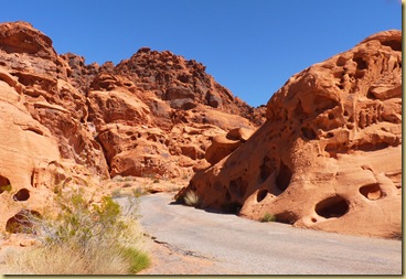
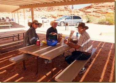
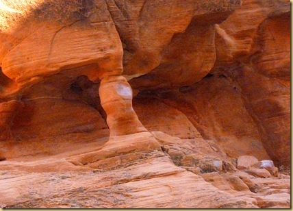
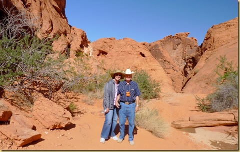
After sharing our picnic lunch,2010-10-08 - AZ, Valley of Fire State Park - 1002 we took a short hike up the Petroglyph Canyon Trail.2010-10-08 - AZ, Valley of Fire State Park - 1009 The assortment of rock formations is amazing,2010-10-08 - AZ, Valley of Fire State Park - 1020
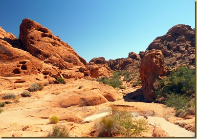
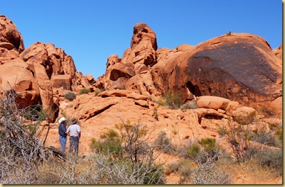
2010-10-08 - AZ, Valley of Fire State Park - 1025

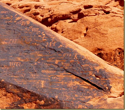
2010-10-08 - AZ, Valley of Fire State Park - 1027 2010-10-08 - AZ, Valley of Fire State Park - 1016   2010-10-08 - AZ, Valley of Fire State Park - 1026 as are the many petroglyph sites.2010-10-08 - AZ, Valley of Fire State Park - 1023 An easy drive from Las Vegas, Valley of Fire State Park is definitely worth taking time to see.2010-10-08 - AZ, Valley of Fire State Park - 1052
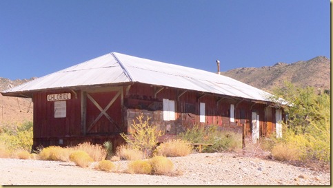
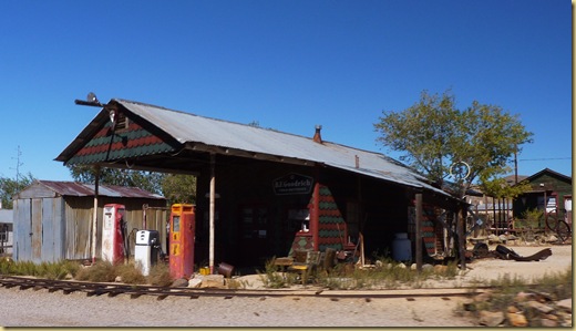
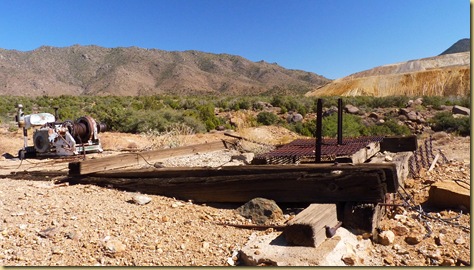
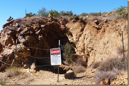
During our stay in Golden Valley, we took a day trip to see the old mining town of Chloride, AZ, and the abandoned mine sites in the Mineral Park area near Golden Valley.

Chloride

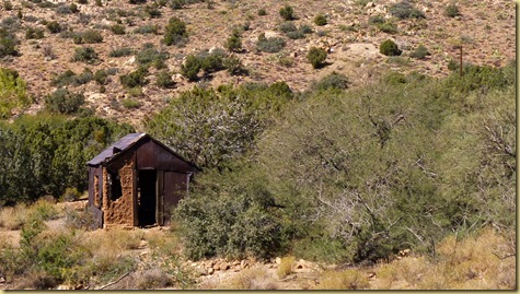
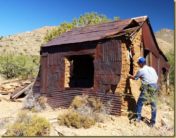
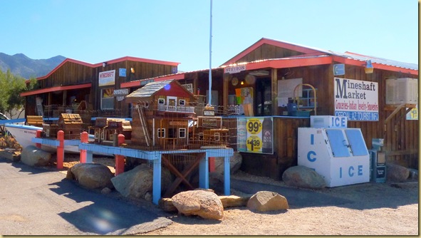
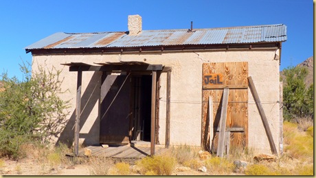
There’s not much left in Chloride now.  The town developed around the silver chloride mines in the early 1860’s, and grew to a population of over 2000.  Other minerals mined were gold, silver, lead, zinc, copper, molybdenum, and vanadium but silver remained the predominate ore.  In the 1940’s, the price of mining escalated, and manpower became scarce due to the war.  The town began to die; all that is left is 250 residents, several old buildings, and a general store doing dual duty as the visitor center.

2010-10-10 - AZ, Chloride - 1002

2010-10-10 - AZ, Chloride - 1003

2010-10-10 - AZ, Chloride - 1007

2010-10-10 - AZ, Chloride - 1021

Mineral Park

Mineral Park was a town from 1871 until its post office closed in 1912, effectively bringing an end to what was once a prosperous community.  An interesting story is the tale of how nearby Kingman grew from a small settlement started to service the railroad into a thriving town, vying for the prestige of being the county seat.  Read the account of the rivalry:

“What Mineral Springs didn’t count on was the small settlement of Kingman, built to service the railroad, would begin to grow so fast. In spite of the Mohave County Miner's best efforts to downplay the possibility of Kingman ever amounting to much, over the next five years, Kingman continued to prosper as a supply center for the area mines, as well as a commercial center for travelers through the area. Soon, Mineral Park was to experience more civic embarrassment when a county-wide vote made Kingman the new county seat in 1887. Kingman got 271 votes to Mineral Park's 93. Even Hackberry, located some 30 miles northeast of Kingman got more votes than Mineral Park at 132. Many speculated that Mineral Park merchants, who already had some economic connections with Kingman,were interested in reducing their costs by being closer to the railroad.

Despite the conclusiveness of the polls, Mineral Park officials refused to give up the county records. Outraged, Kingman citizens subsequently raided the town hall and made off with the county documents, literally "taking” the county seat.”  from Legends of America.

Today, copper and molybdenum are being mined on a large scale at Mineral Park,2010-10-10 - AZ, Mineral Park Abandoned Mine Hike - 1016 
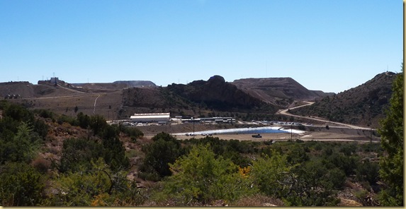
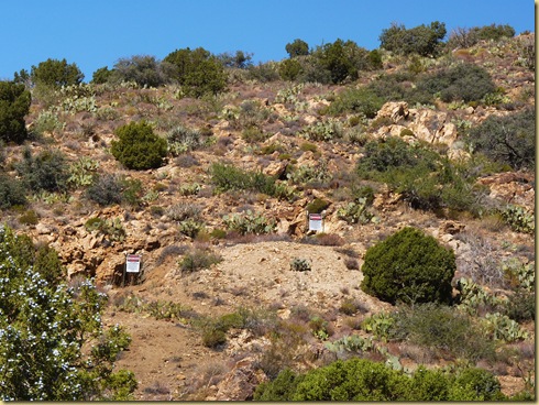
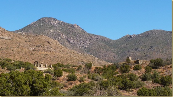
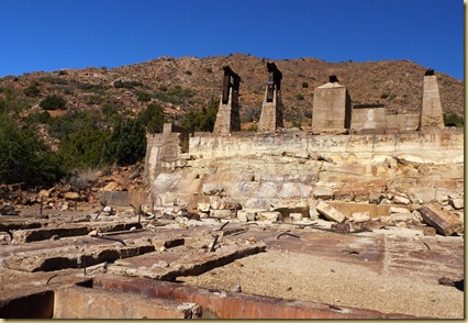
but otherwise, all that remains is a few ruins and mine markers.  2010-10-10 - AZ, Mineral Park Abandoned Mine Hike - 1002 2010-10-10 - AZ, Mineral Park Abandoned Mine Hike - 1027 2010-10-10 - AZ, Mineral Park Abandoned Mine Hike - 1005 2010-10-10 - AZ, Mineral Park Abandoned Mine Hike - 1008 2010-10-10 - AZ, Mineral Park Abandoned Mine Hike - 1011 2010-10-10 - AZ, Mineral Park Abandoned Mine Hike - 1017
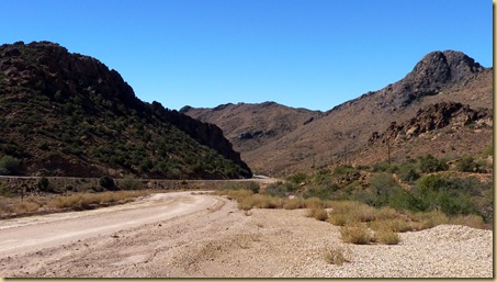
2010-10-10 - AZ, Mineral Park Abandoned Mine Hike - 1025 2010-10-10 - AZ, Mineral Park Abandoned Mine Hike - 1022 

I think we managed to see quite a bit during our 3 weeks in Golden Valley in addition to daily pool games (for Ron), visiting with friends, finding several yard sales, and having quite a few quiet afternoons and evenings to just relax with a book or craft.

Next stop will be Yuma, where we’ll park for the next 6 months.Flagstaff to Kingman

Saturday, September 25, 2010

The Hopi Celebration

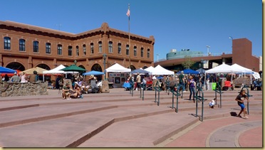
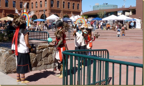
The Hopi Indians are an integral part of Flagstaff.  Recently, a large building bordering downtown’s Heritage Square was renamed “the Hopi Building”; 2010-09-25 - AZ, Flagstaff - Hopi Celebration - 1005

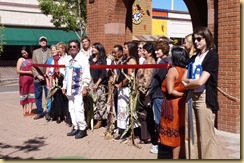
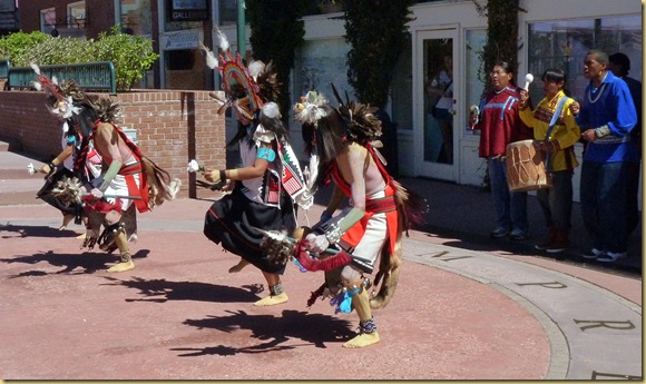
the tribe held a celebration around the ribbon cutting. 2010-09-25 - AZ, Flagstaff - Hopi Celebration - 1007

Cake and punch was provided for the crowd, an arts and crafts fair provided a look at their work, and dancers entertained.

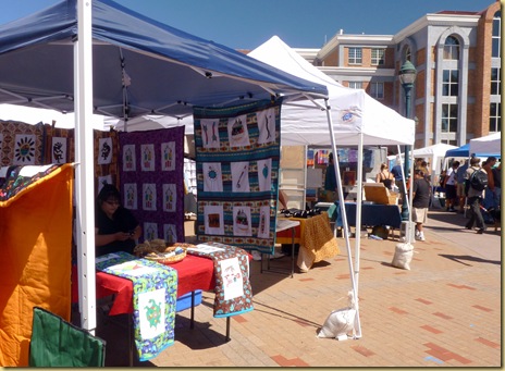
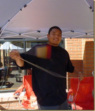
Each tribe has a different way of expressing themselves through art.  For the Hopi, it’s stylized paintings and weaving.  We enjoyed looking at the colorful offerings.2010-09-25 - AZ, Flagstaff - Hopi Celebration - 1012

2010-09-25 - AZ, Flagstaff - Hopi Celebration - 1017  2010-09-25 - AZ, Flagstaff - Hopi Celebration - 1014

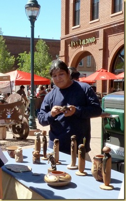
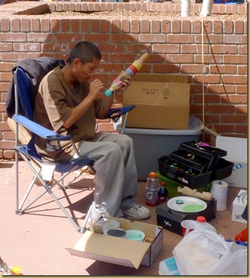
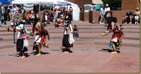
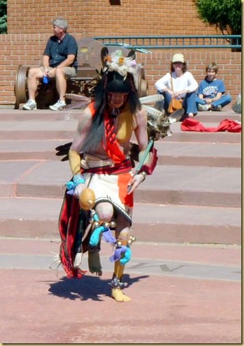
This young man demonstrated a traditional spinning toy for us.2010-09-25 - AZ, Flagstaff - Hopi Celebration - 1016 Four teenagers provided the dancing entertainment.  We’ve seen several tribes performing in dance exhibits; the one thing that stood out in the Hopi dancing was that they enter the arena backwards.
2010-09-25 - AZ, Flagstaff - Hopi Celebration - 1019 2010-09-25 - AZ, Flagstaff - Hopi Celebration - 1021 2010-09-25 - AZ, Flagstaff - Hopi Celebration - 1024 2010-09-25 - AZ, Flagstaff - Hopi Celebration - 1026 2010-09-25 - AZ, Flagstaff - Hopi Celebration - 1028

It’s good to see the youth working to preserve their heritage.

Friday, September 24, 2010

Montezuma’s Castle and Well

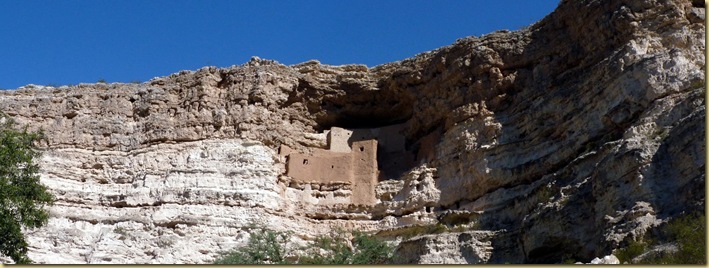
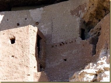
2010-09-24 - AZ, Montezuma's Castle -  1007 Montezuma’s Castle is another well-preserved ancient dwelling in northern Arizona, near Sedona.  The name is a double misnomer, as there is no connection between the dwelling and the Aztec Indians, as was thought when the name was bestowed; in addition, it is not a “castle” belonging to one family, but rather a 5 story, 20 room “high-rise apartment”, housing as many as 35 or more of the Sinagua Indians.

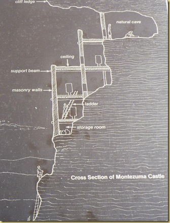
Built into a limestone cliff 70 feet above the ground, the structure is an architectural wonder.  This drawing is on one of the interpretive signs.  Can you imagine the labor involved to construct the dwelling, and then, how hard it would be to have to maneuver the ladders every time you left home for food or water?2010-09-24 - AZ, Montezuma's Castle -  1009 

The public is not allowed any closer than the path below the structure, but even from there, you could see some of the original wooden beams in the walls.2010-09-24 - AZ, Montezuma's Castle -  1008

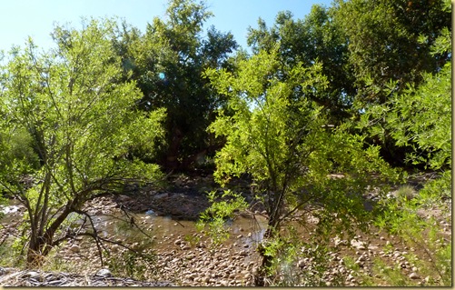
The atmosphere near the cliff dwellings seems cool compared to the nearby desert, as a creek runs through the valley, supplying water for huge sycamores and other plants. 2010-09-24 - AZ, Montezuma's Castle -  1019 2010-09-24 - AZ, Montezuma's Castle -  1020

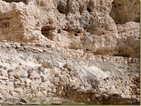
The inhabitants had close neighbors.  Just a few feet away once stood an even larger dwelling, with 45 rooms and an occupancy of 100 or more. Unfortunately, a fire destroyed most of it in the 1400’s, not leaving much to see, other than the remains of some of the walls.2010-09-24 - AZ, Montezuma's Castle -  1014

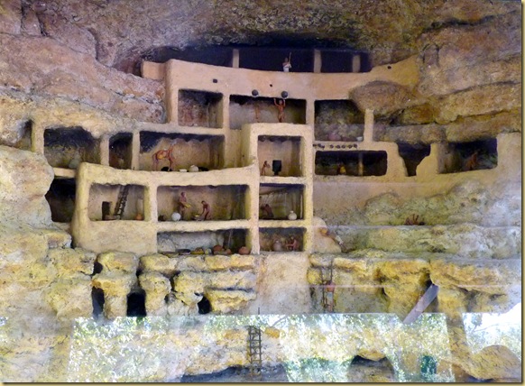
A small building with a glass front houses a diorama cross section of how the interiors may have looked.2010-09-24 - AZ, Montezuma's Castle -  1021

Less than 10 miles away is Montezuma’s Well, a funnel shaped limestone sink.  The only connection between the two sites are the similar names, although I would think there would have been times when the creek at Montezuma’s Castle would have run dry, and they would have made the trek to the well for water.  2010-09-24 - AZ, Montezuma's Well -  1002

Fifty five feet deep and 368 feet across, this body of water in the middle of the desert, fed by underground springs, never goes dry.  2010-09-24 - AZ, Montezuma's Well -  1007 Astonishingly, a million and a half gallons of fresh water flow into the sink daily; an irrigation canal, dug sometime between 900 and 1400 AD, provides an outlet for the water.

Several dwellings are visible from the top, perched on the rocky bank of the well.2010-09-24 - AZ, Montezuma's Well -  1005   2010-09-24 - AZ, Montezuma's Well -  1011  

2010-09-24 - AZ, Montezuma's Well -  1012

A footpath leads down to the level of the water, where the remains of another dwelling are visible.2010-09-24 - AZ, Montezuma's Well -  10092010-09-24 - AZ, Montezuma's Well -  10242010-09-24 - AZ, Montezuma's Well -  10202010-09-24 - AZ, Montezuma's Well -  1019 

The terrain is rough, 2010-09-24 - AZ, Montezuma's Well -  1025

home now only to those needing the water source. 2010-09-24 - AZ, Montezuma's Well -  1008

Once back on top, we continued on to the back side of the well.  There, you can descend again to the bottom of the bank.  2010-09-24 - AZ, Montezuma's Well -  1032

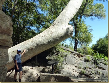
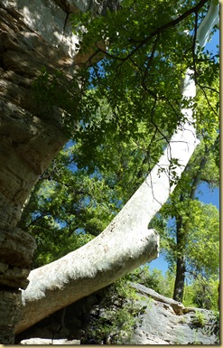
The largest sycamore tree in Arizona lives in the shade here, probably gaining its status due to the unending water supply.  2010-09-24 - AZ, Montezuma's Well -  10362010-09-24 - AZ, Montezuma's Well -  1035

You walk along the irrigation canal formed so many years ago..  2010-09-24 - AZ, Montezuma's Well -  1038

…..

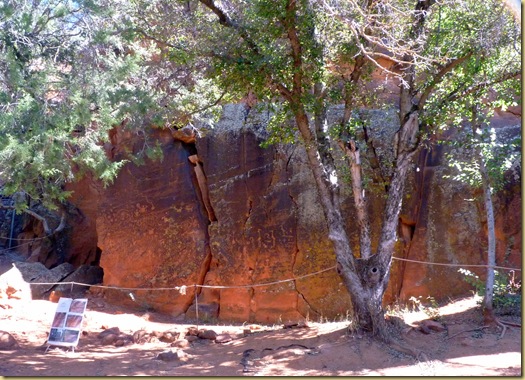
The V Bar V Petroglyph site is only open Friday through Sunday each week;  it was Friday, and we were told by a park ranger we shouldn’t miss it.  The largest known petroglyph site in the Verde Valley, it was acquired by the National Forest Service recently, in 1994.

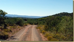
Accessible by either the shorter gravel road from the well site, or by pavement, we first tried the gravel, only to find it a very bad “washboard” and backtracked to use the paved road.  Even it narrowed as we went on, and the last little bit was gravel. 2010-09-24 - AZ, V Bar V Petroglyph site -   10052010-09-24 - AZ, V Bar V Petroglyph site -   1004

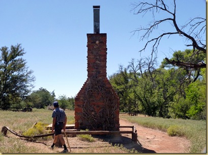
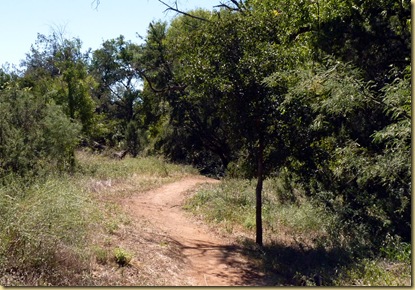
The site is located on an old ranch, hence it’s name.  A one mile loop trail leads you  past the home site, through the field. 2010-09-24 - AZ, V Bar V Petroglyph site -   1007 2010-09-24 - AZ, V Bar V Petroglyph site -   1009

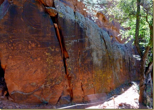
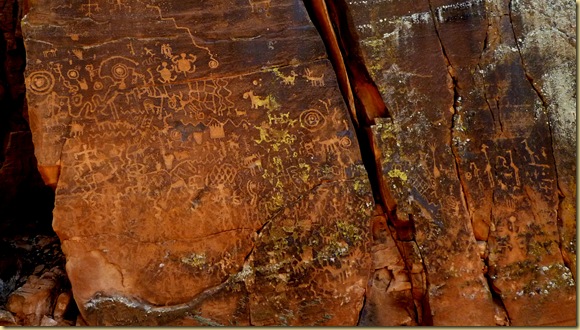
Had we not just seen Newspaper Rock in southern Utah (see our post on Canyonlands) we might have been more impressed with this site, but the figures are hard to see, and many are obscured by a fungal growth.  Still, there is an impressive number of petroglyphs.2010-09-24 - AZ, V Bar V Petroglyph site -   1013

2010-09-24 - AZ, V Bar V Petroglyph site -   1017.2010-09-24 - AZ, V Bar V Petroglyph site -   1021

Other ancient ruin sites nearby are Tuzigoot and Walnut Canyon National Monuments.  Those we’ll save for another trip.