A drive through the Columbia Gorge is a destination in itself with rewarding views around every curve. The Columbia Gorge contains the Columbia River forming the state line between Washington and Oregon.
In 1913, U.S. Highway 30 was designed to showcase the many natural wonders of the Gorge. It was considered one of the greatest engineering feats of the modern age. Running roughly parallel to the river, parts of the highway still remain. We chose to travel Highway 30 as much as possible today.
Our first stop was at the top of the Rowena Plateau, where a winding road leads to a great viewpoint above the Columbia.
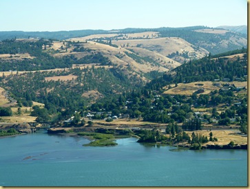
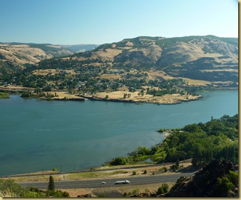
Driving U.S. 30 is more leisurely than taking I-84, far below at river level.  The Cascade Locks has an impressive Visitor Center.
 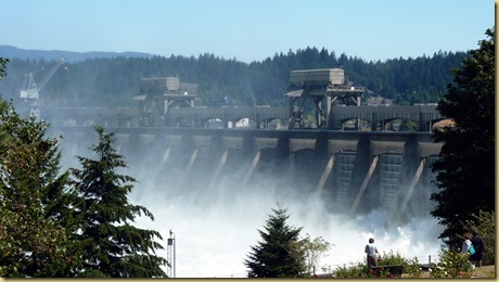 Fish ladders are installed at each of the dams on the Columbia to enable the fish migration. This is the ladder at Cascade Locks viewed from the top,
 and through the window in the Visitor Center.
The most visited site in the Columbia Gorge is Multnomah Falls. At 620 feet, it is the tallest falls in Oregon. There are many legends surrounding the beautiful waterfall. For one of the most popular stories, CLICK HERE.

Several other falls grace the Gorge, including Latourell, Wakeena, and Horsetail.


It is said the view from Portland Women’s Forum State Scenic Viewpoint is the best of the Gorge, but I think that’s subjective. There are too many magnificent viewpoints to choose just one. The building situated at the left center of the picture on the 733 ft tall bluff is Vista House, a memorial to Oregon’s pioneers, that serves as a rest stop for travelers. Built in 1916, it’s a beautiful work of German inspired architecture.
 A viewing deck graces the top.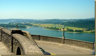

After a long day’s drive can you think of a better way to end it?
For the more on the Vista House, check out this link: The Vista House Story.
The Gorge is 80 miles in length, each mile a scenic wonder in itself. For more on the Columbia Gorge, click here.
The Historic Columbia River Highway is a site dedicated to Highway 30.


