Who We Are

We sold our home in June, 2007, and spent the next 7 1/2 years traveling full time in a Cross Roads Fifth Wheel. (We had been traveling during our summers for several years before going full time.) We loved the full-time lifestyle! Each summer we spent a month or two volunteering in State Parks, first in Indiana at McCormick's Creek State Park, near our family, then in later years as the grandchildren got older, at the Bluewater Lake State Park in New Mexico. We spent 6 months each winter at Cactus Gardens RV Resort in Yuma, AZ, where I worked mornings in the park office. The remaining months were spent on the road, seeing this great country of ours. Our favorite places are our National Parks. Anita loved photography and the freedom of digital photography, taking sometimes hundreds of photos in a day. We hiked as much as our legs will allow. We also really enjoyed square and round dancing as we travel across country, and meeting all the wonderful people who dance and/or travel.

But as in all things, there comes a time for change, and we decided it was time to create roots once more. In the fall of 2014, we purchased a home in Cactus Gardens, and in the spring of 2015, sold the 5th wheel. Anita also retired in the spring. We will continue to travel each summer, but for a shorter period of time. We hope to continue blogging about those trips, but it will obviously be on a more limited basis than in the past.

Please explore our past posts if you are interested in traveling this great country. You'll find an index in the left column. We hope you enjoy our blog, and appreciate all comments

Thursday, August 26, 2010

Thousand Springs Scenic Trail

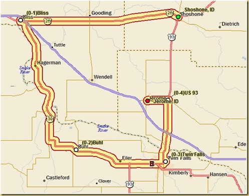
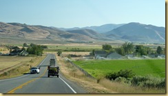
P1080526 magic valley This area of Idaho is known as Magic Valley, consisting of several counties in south central Idaho.  During the first decade of the 20th century two dams and a series of irrigation canals were constructed on the Snake River, resulting in the area being “magically” transformed from a nearly uninhabitable area into some of the most productive farmland in the Northwest.

As we left the Craters of the Moon, we decided to drive a little bit out of our way on our return trip and take the Thousand Trails Scenic Byway, south of the Snake River.

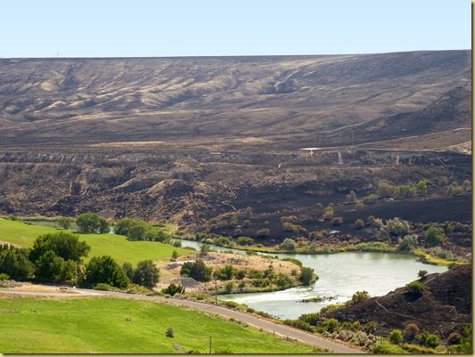
The Byway starts just north of the river with a dramatic drop into the canyon2010-08-26 -3- ID, Thousand Springs Scenic Byway -1010 2010-08-26 -3- ID, Thousand Springs Scenic Byway -1006
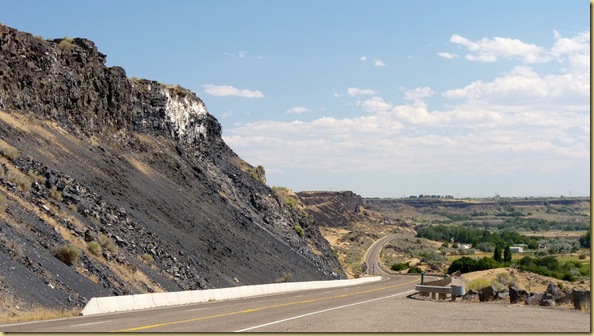
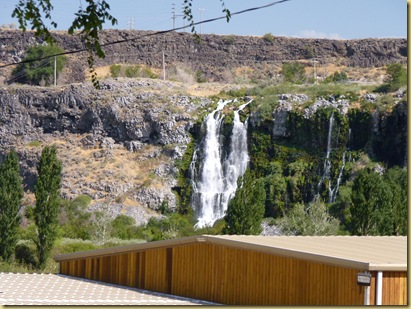
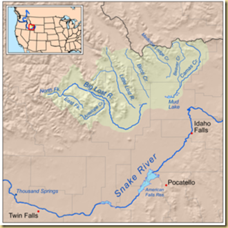
crosses the river, and follows along the fertile farmland.2010-08-26 -3- ID, Thousand Springs Scenic Byway -1008 There were several side trips that we’ll save for another time.  As we continued along the river, we began to notice numerous waterfalls along the cliffs on the opposite bank.   The falls originate from underground vents carrying water from the Lost Rivers far to the north, surfacing here in the “Thousand Springs” area.Lost Rivers of Idaho
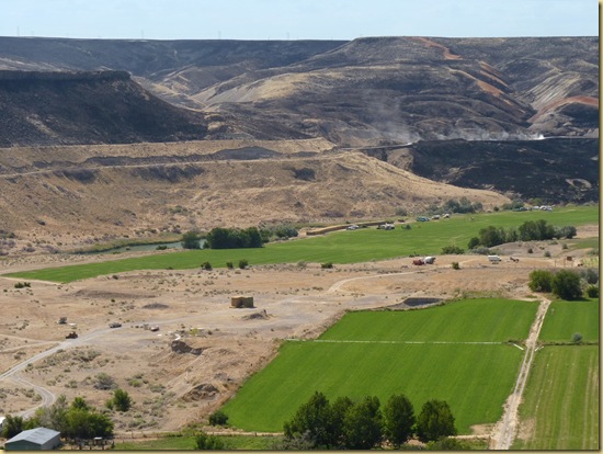
2010-08-26 -3- ID, Thousand Springs Scenic Byway -1020

2010-08-26 -3- ID, Thousand Springs Scenic Byway -1022

2010-08-26 -3- ID, Thousand Springs Scenic Byway -1024

Spanning the river between Twin Falls and  Jerome is the Perrine Bridge, 1500 feet long and situated 486 feet above the Snake River.2010-08-26 -4- ID, Twin Falls - Snake River at Perrine Bridge -1006
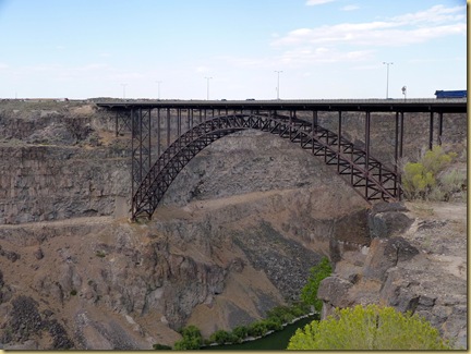
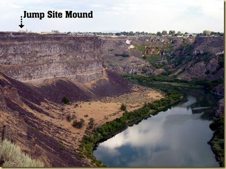
The gorge’s claim to fame is Evel Knievel’s attempt to jump the gorge just east of this bridge.  Here’s a short YouTube video of the event.


You can still see the jump site mound from the bridge.Evel Knievel Jump Site Snake River ID
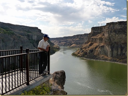
The bridge itself has become famous for a different type of jump, BASE (acronym that stands for four categories of fixed objects from which one can jump: buildings, antennae, spans (bridge) and earth (cliff) jumps.  The Perrine Bridge is the only bridge in the U.S. from which you can jump legally without a permit, and has become one of the most popular sites for parachute BASE jumps.  In fact, while we were at the Visitor Center, several young men were preparing their parachutes for a jump from the bridge.  They told us it would be 20 minutes to a half hour before the jump, so we thought we had plenty of time to drive across town to see the Shoshone Falls.  Unfortunately, rush hour traffic prevented us from getting back in time to view the jumps.  Here is a short video however, from a similar jump occasion.

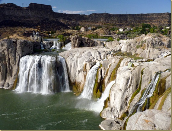
Our last stop of the day was Shoshone Falls, also known as “Niagara of the West.”  Even though it is late in the summer, and the flow of water over the falls is low compared to spring levels from snow melt, it was still very impressive.2010-08-26 -5- ID, Twin Falls - Shoshone Falls, Niagara of the West -1006 2010-08-26 -5- ID, Twin Falls - Shoshone Falls, Niagara of the West -1002  
Over eleven hours after leaving home, our day was over and we were very tired, but what a rewarding day!

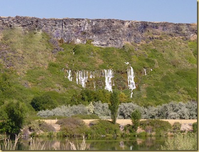
Thousand Springs Scenic Byway

A Trip to the Moon – Craters of the Moon, Idaho

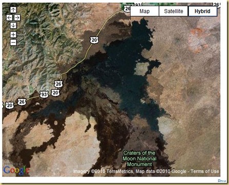
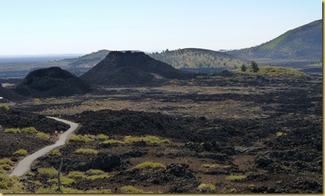
Craters of the Moon National Monument is a volcanic lava flow in south central Idaho.   This park with its lava formations covers 1117 square miles, the size of the state of Delaware.  The lava fields and formations are so large and dark, they can be seen by space satellites.Craters of the Moon The monument has 3 major lava fields, 60 miles wide, which are the largest and best preserved examples in the 48 contiguous United States.  The rift that opened the Earth’s surface a million years ago is 62 miles long.  The lava deposits are as deep as 10,000 feet, the deepest known on earth.

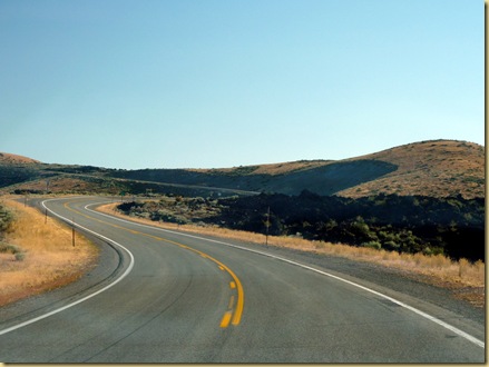
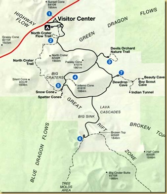
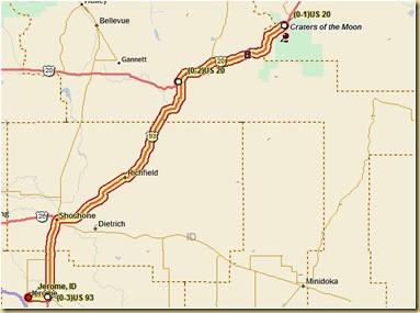
The park is aptly named as Apollo 14 astronauts spent several days here in 1969 preparing for a voyage to the moon’s craters.  Truly, you feel as if you’ve stepped into a foreign landscape, one sharply defined at it’s edges.2010-08-26 -2- ID, Craters of the Moon National Monument -1011 A 7 mile loop runs through the park, with several stops.Craters of the Moon MapAlthough some were closed for construction, we still were able to see a lot of the area.  Our visit started in the Visitor Center with a video on Robert Limbert, one of the early explorers who gave the area its name.  Limbert, his dog, and a friend spent 17 laborious days crossing the lava beds in 1918, resulting in publicity that gained national attention.  For more on Limbert, read this short history segment.

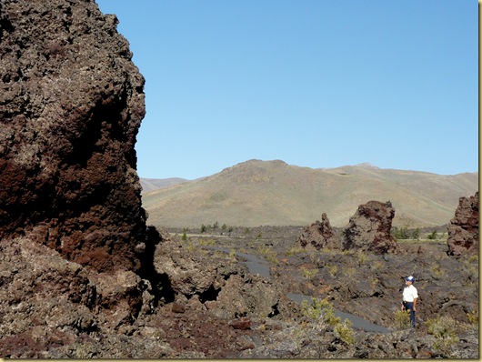
First stop on the loop is a short quarter mile trail crossing one of the youngest flows to monoliths-crater fragments rafted here by lava flows.  Several formations of lava are prominent in the park, composed of the following

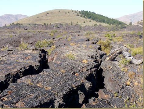
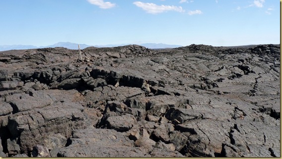
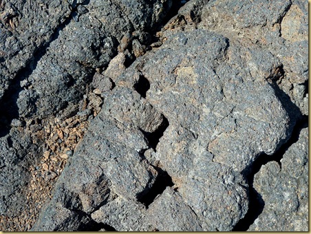
a’a (Hawaiian for “stony, rough lava” or “blaze, burn”) lava flows quickly, causing cracks to be formed on the surface, resulting in jagged razor sharp slices of stone.2010-08-26 -2- ID, Craters of the Moon National Monument -1044

2010-08-26 -2- ID, Craters of the Moon National Monument -1172

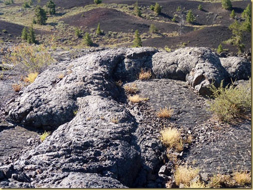
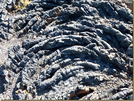
The second type is Pahoehoe (Hawaiian for “to paddle” (probably from the swirls on its surface)a type of lava flow which spreads in sheets.   The surface is a glassy layer which has been dragged into ropy folds by the movement of the hot lava below it.2010-08-26 -2- ID, Craters of the Moon National Monument -1042

2010-08-26 -2- ID, Craters of the Moon National Monument -1037

It’s hard to believe that these monoliths floated here in the flow of lava.  Scientist estimate all this activity happened 2,000 to 15,000 years ago.2010-08-26 -2- ID, Craters of the Moon National Monument -1025

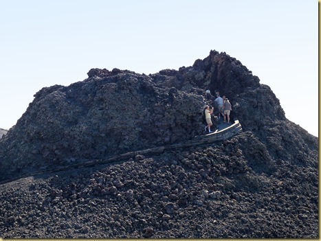
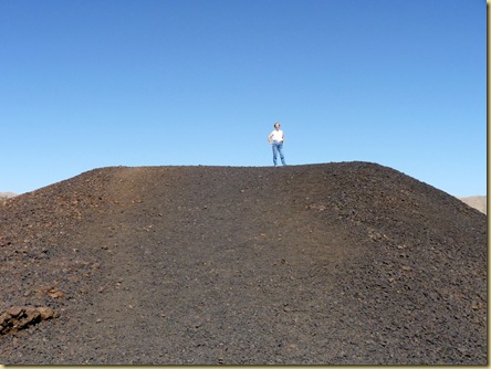
Our next stop was at the Spatter Cones, which are small craters.2010-08-26 -2- ID, Craters of the Moon National Monument -1062

2010-08-26 -2- ID, Craters of the Moon National Monument -1051

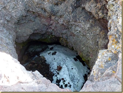
At an outside temperature approaching 100 degrees, we were amazed to see snow still at the bottom of one of these craters.2010-08-26 -2- ID, Craters of the Moon National Monument -1053

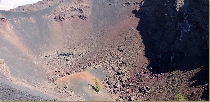
Climbing the steep path nearby, we gazed down into one of the larger craters.2010-08-26 -2- ID, Craters of the Moon National Monument -1069

An amazingly hardy little tree stands bravely at the bottom.2010-08-26 -2- ID, Craters of the Moon National Monument -1071

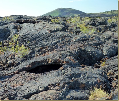
Our last stop on the loop was near the “caves” formed of lava tube channels.  As hot fluid lava streams begin to cool from the top, a ceiling is formed.  Then lava drips down the sides making an enclosed tube cave.  These caves can be 1,000 feet long. 

These shots were taken along the 1/2 mile trail to the caves:

2010-08-26 -2- ID, Craters of the Moon National Monument -1113

  2010-08-26 -2- ID, Craters of the Moon National Monument -1115

2010-08-26 -2- ID, Craters of the Moon National Monument -1124 2010-08-26 -2- ID, Craters of the Moon National Monument -1120

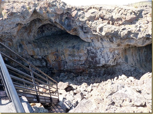
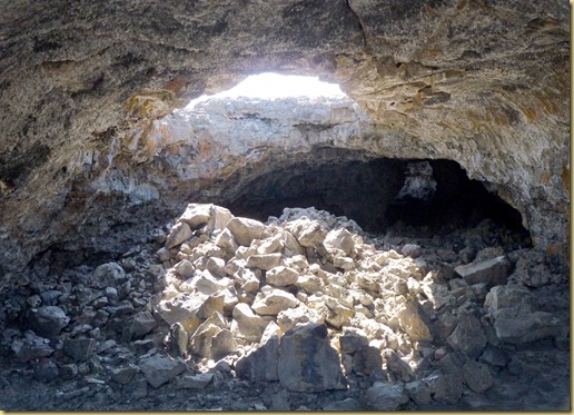
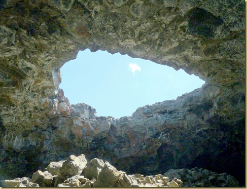
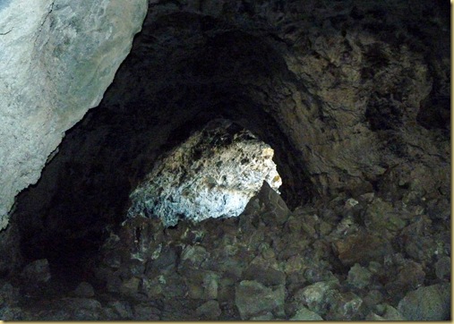
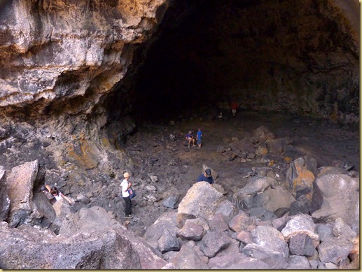
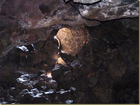
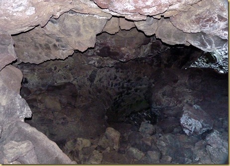
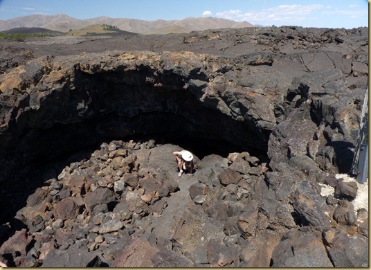
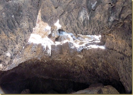
There are 4 caves near each other.  We chose Indian Cave at 800 feet long because it’s ceiling has collapsed in several places, letting in enough light for you to explore without the use of a flashlight.  Although much of the stone in these pictures appear white, that is an optical illusion due to the sharp contrast of light and dark, and the use of a flash once inside the tube. The stone is actually shades of dark gray to black.

Several metal steps lead down into the tube opening. 2010-08-26 -2- ID, Craters of the Moon National Monument -1134

2010-08-26 -2- ID, Craters of the Moon National Monument -1135

Light shines through the collapsed ceiling in several places. 2010-08-26 -2- ID, Craters of the Moon National Monument -1138 2010-08-26 -2- ID, Craters of the Moon National Monument -1142 2010-08-26 -2- ID, Craters of the Moon National Monument -1147 2010-08-26 -2- ID, Craters of the Moon National Monument -1158   2010-08-26 -2- ID, Craters of the Moon National Monument -1165

Toward the end, there is a huge pile of debris to climb over2010-08-26 -2- ID, Craters of the Moon National Monument -1167

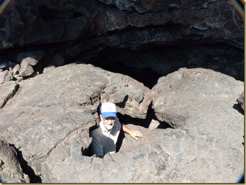
and the final exit is a climb through a tiny hole. 2010-08-26 -2- ID, Craters of the Moon National Monument -1168

2010-08-26 -2- ID, Craters of the Moon National Monument -1169

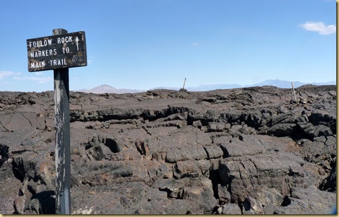
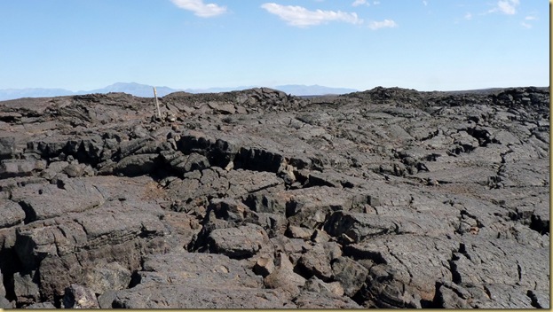
Once out, you make your way over the rough lava back to the paved trail.  This is one of the few places in the park where you are permitted to walk on the lava.2010-08-26 -2- ID, Craters of the Moon National Monument -1184

2010-08-26 -2- ID, Craters of the Moon National Monument -1173 2010-08-26 -2- ID, Craters of the Moon National Monument -1172

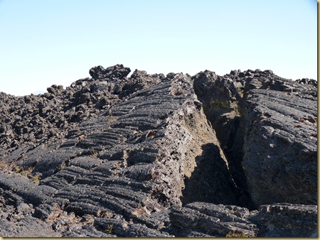
We marveled at this crack, so defined along a cubic break. 2010-08-26 -2- ID, Craters of the Moon National Monument -1180  2010-08-26 -2- ID, Craters of the Moon National Monument -1174   Craters of the Moon… a fascinating, otherworldly experience.

 "A weird and scenic landscape peculiar to itself," stated President Calvin Coolidge as he dedicated the new memorial.  A pioneer traveling the Oregon Trail in the 1850s looked at the blackened earth and described the land before him as "Devil's Vomit." An explorer recalled in his journal that this land is "the strangest 75 square miles on the North America continent."  And Jerald R. Lovell, a researcher and author,  remarked (this part of Idaho is) "Iceland and Hawaii all wrapped up in one."2010-08-26 -2- ID, Craters of the Moon National Monument -1177

Jerome to Craters of the Moon

Tuesday, August 24, 2010

Scenic drives near Boise, ID

Our primary reason for spending a week in the Boise area was to visit square dance friends from Yuma, Jim and Myra Kemper.  Although Myra was already a dancer at the time, she and Jim were in our beginner Mainstream class several years ago, and we’ve become good friends.

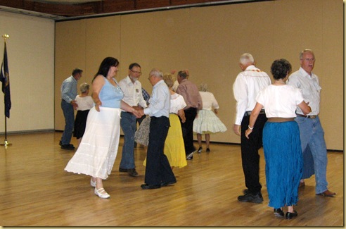
Actually, the first order of the week was square dancing.  On Wednesday night, we danced with their club, the Capitol Squares.2010-08-18 - ID, Boise - Meridian - Square Dancing w Capitol Squares, Jim & Myra Kemper 1001We were surprised to learn that another couple we dance with in Yuma, George and Leola Neumayer, are also Boise summer residents.2010-08-18 - ID, Boise - Meridian - Square Dancing w Capitol Squares, Jim & Myra Kemper 1011

It was a very enjoyable evening.  2010-08-18 - ID, Boise - Meridian - Square Dancing w Capitol Squares, Jim & Myra Kemper 1018

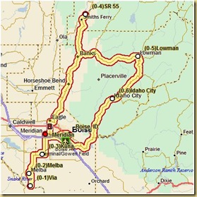
Jim and Myra treated us to some great scenic drives.  The first was a loop through the nearby mountains, and was actually parts of 3 designated Idaho scenic drives.

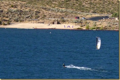
First stop on the drive was the dam over the Boise river just at the edge of the city.2010-08-19 - ID, Boise-Meridian - Scenic Tour with Jim and Myra 1003Several kite surfers were enjoying the gorgeous weather.2010-08-19 - ID, Boise-Meridian - Scenic Tour with Jim and Myra 1008

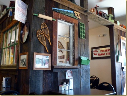
We ate lunch in Idaho City, once a booming gold mining community.  The restaurant, Trudy’s Kitchen, was filled with enough antiques to be an antique shop.2010-08-19 - ID, Boise-Meridian - Scenic Tour with Jim and Myra 1011

2010-08-19 - ID, Boise-Meridian - Scenic Tour with Jim and Myra 1012The pies were unbelievable, both in size and taste!
2010-08-19 - ID, Boise-Meridian - Scenic Tour with Jim and Myra 10172010-08-19 - ID, Boise-Meridian - Scenic Tour with Jim and Myra 1016

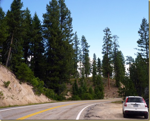
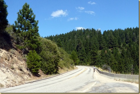
Continuing on the drive, we ascended rapidly into pine forests.

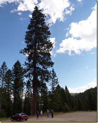
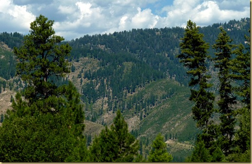
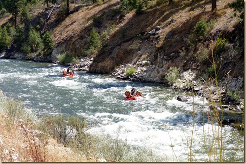
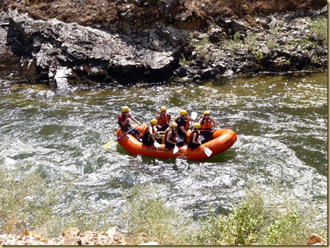
2010-08-19 - ID, Boise-Meridian - Scenic Tour with Jim and Myra 1022The size of some of the Ponderosa pines are amazing.  This photo is not an optical illusion from the angle taken; the trees really are this tall!2010-08-19 - ID, Boise-Meridian - Scenic Tour with Jim and Myra 1024  From high in the mountains, the view is fantastic. 2010-08-19 - ID, Boise-Meridian - Scenic Tour with Jim and Myra 1027 As we continued our drive, it wound alongside the South Fork of the Payette River.  The river flow, placid at first, gained in intensity.  We stopped to watch some rafters negotiate the first of increasing difficult rapids.2010-08-19 - ID, Boise-Meridian - Scenic Tour with Jim and Myra 1047

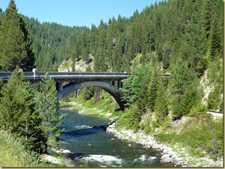
2010-08-19 - ID, Boise-Meridian - Scenic Tour with Jim and Myra 1051Our last stop of the day was at Rainbow Bridge, on the North Fork of the Payette.  Myra says this is one of the most photographed sites in Idaho.  We could certainly see why; the scene is beautiful.2010-08-19 - ID, Boise-Meridian - Scenic Tour with Jim and Myra 1074b

Jim entertained us on his organ one evening before dinner, playing many of the old standard tunes.2010-08-20 - ID, Meridian - Jim Kemper at Organ (3)Later in the week,  they took us on a drive to a nearby ski resort.    2010-08-22 - ID, Meridian-Boise - Scenic Mountain Drive 1024 

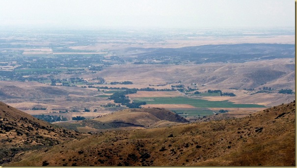
From high up the mountain, you can see miles down into Boise and far beyond.2010-08-22 - ID, Meridian-Boise - Scenic Mountain Drive 1031 

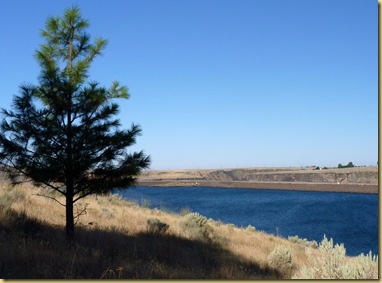
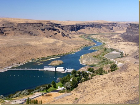
Monday, we spent with Donna and Glenn, their last day on the trip with us. On Tuesday,they left to head back to Texas.  We decided to stay in Boise one more day to do some shopping and have a last visit with Jim and Myra.  They drove us south this time, past the community of Kuna to the dam on the Snake River. 2010-08-24 - ID, Boise-Meridian - Scenic Drive - Snake River Dam 1001 It was a good week.20100824c

scenic drives